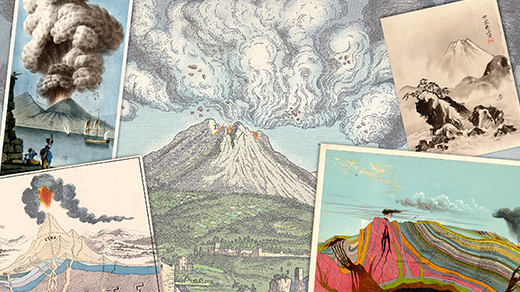
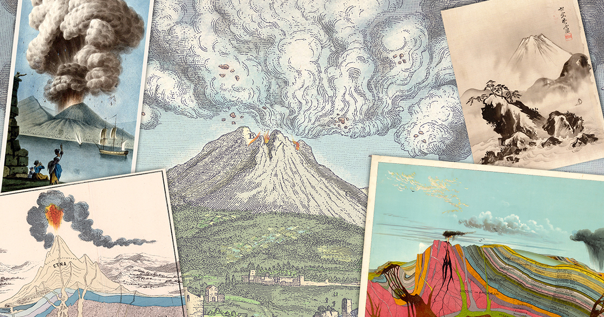
Predicting Volcanic Eruptions: Toward Reliable Forecasting
Imagine if we could warn communities weeks in advance that a volcano will blow its top, much like a hurricane forecast. The catastrophic 1991 eruption of Mount Pinatubo in the Philippines shows both the power of volcanoes and the limits of our predictions. While scientists have made strides in monitoring, forecasting exactly when and how a volcano will erupt remains a formidable challenge. This Q&A explores why volcanic forecasting is so difficult, what we’ve learned from events like Pinatubo, and whether we’ll ever achieve a “weather forecast” for volcanoes.
What happened during the 1991 eruption of Mount Pinatubo?
The 1991 eruption of Mount Pinatubo began on June 12 with small explosions. Three days later, on June 15, it culminated in a colossal blast. Pyroclastic flows – incandescent avalanches of molten rock and gas – cascaded down the volcano’s slopes. The eruption obliterated Pinatubo’s peak, leaving a 2.5-kilometer-wide crater. The event killed more than 800 people, mostly from roofs collapsing under heavy ashfall, and caused global climate effects by injecting sulfur dioxide into the stratosphere. This eruption is a stark reminder that even well-monitored volcanoes can surprise us.
How do scientists currently monitor volcanoes for signs of eruption?
Volcanologists use a suite of instruments to detect warning signs. Seismometers track earthquakes caused by magma moving underground. Tiltmeters and GPS measure ground deformation as magma pushes up. Gas sensors analyze emissions of sulfur dioxide and carbon dioxide, which increase before eruptions. Satellite imagery can spot thermal hotspots and ash clouds. For Pinatubo, monitoring had improved enough to evacuate tens of thousands before the main blast, but predicting the exact timing and size remains elusive. Each volcano behaves differently, so interpreting these signals requires experience and constant vigilance.
Why is forecasting volcanic eruptions more challenging than weather forecasting?
Weather forecasting benefits from continuous, global data assimilation and well-understood physics, but volcanoes present unique hurdles. First, there are far fewer active volcanoes than weather systems—only ~1,500 potentially active ones globally—so we have less data to build models. Second, each volcano has its own plumbing system, magma composition, and eruption style, making generalizations difficult. Third, eruptions are governed by sudden, unpredictable changes in pressure and gas content inside the Earth, not just atmospheric dynamics. While weather forecasts improve daily, volcanic forecasts are still binary (erupt or not) with wide uncertainty windows.
What progress has been made in volcanic eruption prediction?
Significant progress includes better detection of pre-eruption signals. For example, the 2014–2015 eruption of Iceland’s Bárðarbunga volcano was forecast using precise GPS and seismicity data. Scientists successfully predicted the location of the eruption vent hours before it opened. Machine learning now helps process vast datasets from sensors, catching subtle patterns humans might miss. The USGS’s Volcano Disaster Assistance Program has also shared expertise worldwide. Despite these advances, false alarms still occur, and many volcanoes remain unmonitored. The holy grail—forecasting eruptions days to weeks ahead—remains a target, not a reality.
Can we ever expect to forecast volcanic eruptions as accurately as weather?
It’s possible, but unlikely in the near future. Weather forecasting relies on dense observation networks and robust numerical models that integrate millions of data points over short timescales. Volcanoes require similar density of monitoring, but subsurface physics is far harder to observe directly. Advances in AI, drone-based gas sampling, and borehole sensors may bring us closer. However, the fundamental unpredictability of magmatic systems may always leave room for surprise. Some scientists believe we’ll reach probabilistic forecasting—like saying “60% chance of eruption in the next week”—rather than deterministic predictions. Pinatubo showed that even with good data, we didn’t foresee the magnitude until it was close.
What technologies are being developed to improve eruption forecasting?
Emerging technologies include fiber-optic cables used as distributed acoustic sensors (DAS) to detect tiny ground movements in real time. Drones equipped with infrared cameras and gas analyzers can enter hazardous areas to sample volcanic plumes. Satellite missions like Sentinel-1 and NASA’s ASTER now provide global, frequent scans of ground deformation. Machine learning algorithms are trained on past eruptions to recognize precursory patterns. Another promising tool is muon radiography, which images the internal structure of a volcano using cosmic rays, akin to an X-ray. These innovations will not eliminate uncertainty but will narrow the window of warning.
What lessons were learned from the Pinatubo eruption for future forecasting?
Pinatubo was a wake-up call that even well-studied volcanoes can unleash surprisingly large blasts. The eruption was preceded by weeks of earthquakes and gas emissions, but the climactic event far exceeded expectations. Key lessons include: never assume a volcano will behave consistently; maintain continuous monitoring even after initial signs; and invest in rapid communication with authorities. The successful evacuation of ~60,000 people before the main eruption proved that monitoring saved lives. However, the disaster also highlighted that forecasting the exact power and duration of an eruption remains elusive. Today, the risks at volcanoes like Campi Flegrei in Italy are managed with similar caution, learning from Pinatubo’s legacy.