Warm Waters Are Sneaking Toward Antarctica: What Scientists Just Discovered
For the first time, researchers have clearly mapped a concerning trend: a deep pool of warm ocean water is migrating closer to Antarctica, threatening its fragile ice shelves. By blending decades of ship-based measurements, data from autonomous robotic floats, and machine learning analysis, they’ve revealed that this warm mass—known as circumpolar deep water—has expanded and moved shoreward over the last 20 years. Below, we answer key questions about this stealthy shift.
What exactly is circumpolar deep water and why is it important?
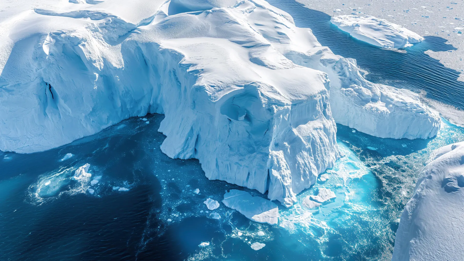
Circumpolar deep water (CDW) is a thick layer of relatively warm, salty water that flows around Antarctica at depths of 200 to 1,000 meters. It originates from the mixing of global ocean currents and carries heat from lower latitudes toward the polar continent. While it’s a natural feature of the Southern Ocean, its temperature and proximity to Antarctica are critical because when CDW reaches the continental shelf and touches the base of ice shelves, it accelerates melting from below. This melting can destabilize the ice shelves, potentially speeding up the flow of land ice into the ocean and raising global sea levels.
How did scientists finally detect this hidden heat moving toward the ice?
For decades, research ships crisscrossed the Southern Ocean measuring temperature and salinity, but those sparse observations couldn’t reveal long-term trends in deep waters. Then, in the 2000s, a fleet of autonomous robotic floats (part of the Argo program) began diving to 2,000 meters, collecting continuous profiles across vast areas. Researchers combined these two datasets with a machine learning model trained to fill in gaps and map the four-dimensional structure of CDW over the past 20 years. The result: a clear picture of how the warm water volume has grown and shifted closer to Antarctica’s coastline, especially in the Amundsen and Bellingshausen Seas.
How much has the warm water expanded and where is it going?
According to the study, the pool of circumpolar deep water has expanded by roughly 30% in volume over the two‑decade period, and its core has moved up to 60 kilometers closer to the Antarctic continental shelf in some regions. The most significant advances are observed in the western part of the continent, particularly near the Pine Island and Thwaites glaciers—two massive ice streams that already show signs of rapid retreat. The data also reveal that the warm layer has thickened, meaning more heat is available to erode the undersides of ice shelves that act as buttresses holding back inland ice.
What does this mean for Antarctica’s ice shelves?
Ice shelves are floating extensions of glaciers; they fringe about 75% of Antarctica’s coastline. When warm CDW reaches their underwater bases, it drives basal melting, thinning the ice from below. This thinning reduces the shelf’s ability to restrain inland glaciers, causing them to slide faster into the ocean. Over the past two decades, several ice shelves in West Antarctica have thinned by tens of meters, and some have even collapsed. The newly discovered creep of CDW suggests that this melting could intensify, leading to further ice shelf weakening and potentially triggering irreversible retreat of major glaciers.
Why is this trend alarming for global sea levels?
Antarctica holds enough ice to raise global sea levels by about 58 meters if it all melted, but even a small fraction would have enormous consequences. The glaciers most vulnerable to CDW intrusions—like Thwaites and Pine Island—already contribute significantly to sea level rise. If the warm water continues to snuggle closer and melt these ice shelves, the flow of ice from the continent could accelerate. Scientists estimate that the Thwaites Glacier alone could account for 4% of global sea level rise within decades if its ice shelf disintegrates. The hidden heat creeping toward the ice is a ticking time bomb that could amplify future sea‑level projections.
How did machine learning help reveal this hidden warmth?
Traditional oceanographic data from ships left large spatial and temporal gaps, especially under sea ice and during winter. To overcome this, researchers trained a machine learning algorithm on the combined ship and float datasets. The algorithm learned the physical relationships between temperature, salinity, depth, and location, then reconstructed a continuous field of CDW properties across the Southern Ocean from 2000 to 2020. This allowed the team to track not just the average position of the warm water but also its year‑to‑year variability and long‑term creep. Without machine learning, detecting such a subtle, multi‑decadal shift over such a vast and harsh region would have been nearly impossible.